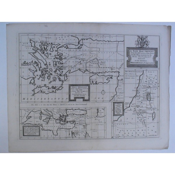
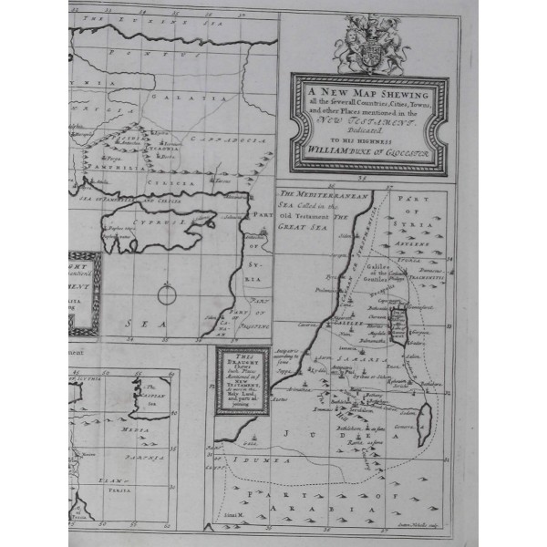
Grabado al cobre, 1701; pliegue central y dos arrugas transversales; pequeña rasgadura reparada y perforaciones reparadas en margen inferior. Medidas grabado: 35,5 x 47,5cm; papel: 43 x 55 cm. Representados 3 mapas:
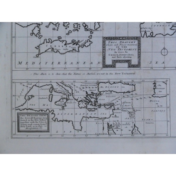
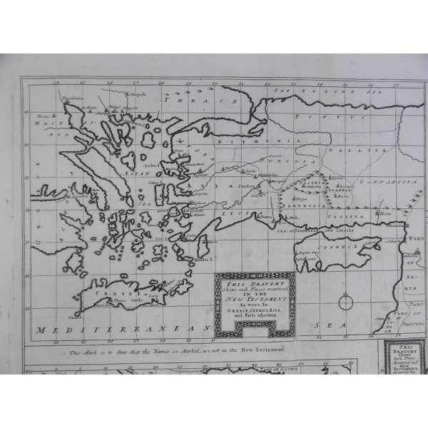
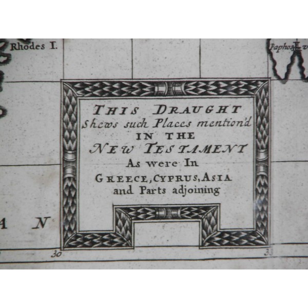
THIS DRAUGHT Shews such Places mentioned in the NEW TESTAMENT As were In GREECE, CYPRUS, ASIA and Parts adjoining (medidas: 23 x 35 cm)
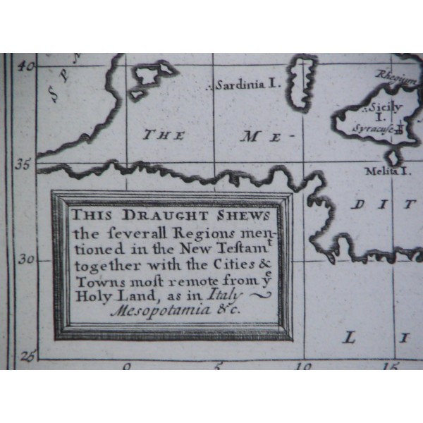
THIS DRAUGHT Shews the severall Regions mentioned in the New Testament together with the Cities & Towns most remote from Holy Land, as in Italy, Mesopotamia & c. (medidas: 10,5 x 29 cm)
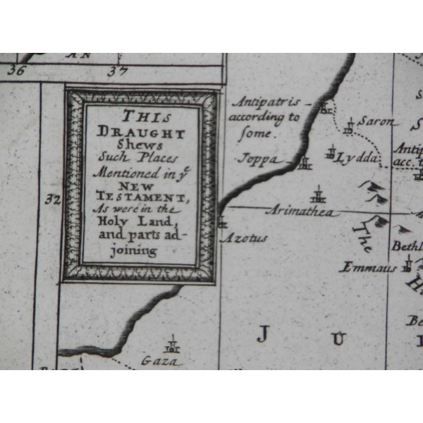
THIS DRAUGHT Shews Such Places mentioned in the NEW TESTAMENT, as were in the Holy Land, and parts adjoining (medidas: 24 x 16,5 cm)
Del cartógrafo Edward Wells (profesor de matemáticas y geografía en el Christchurch College, Oxford University), dedicado a su alumno William Duque de Gloucester, fallecido en 1700, el año de la primera edición; cartela decorativa con el escudo de armas del Reino Unido. Mapa muy apreciado, formaba parte de un conjunto de 22 mapas del atlas "A New Sett Of Mapps Of Ancient And Present Geography ..."; grabado por Sutton Nicholls
[ Mapa de los lugares mencionados en el Nuevo Testamento ]